The neighborhoods we know.
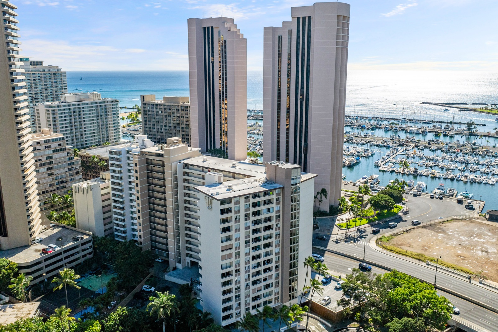
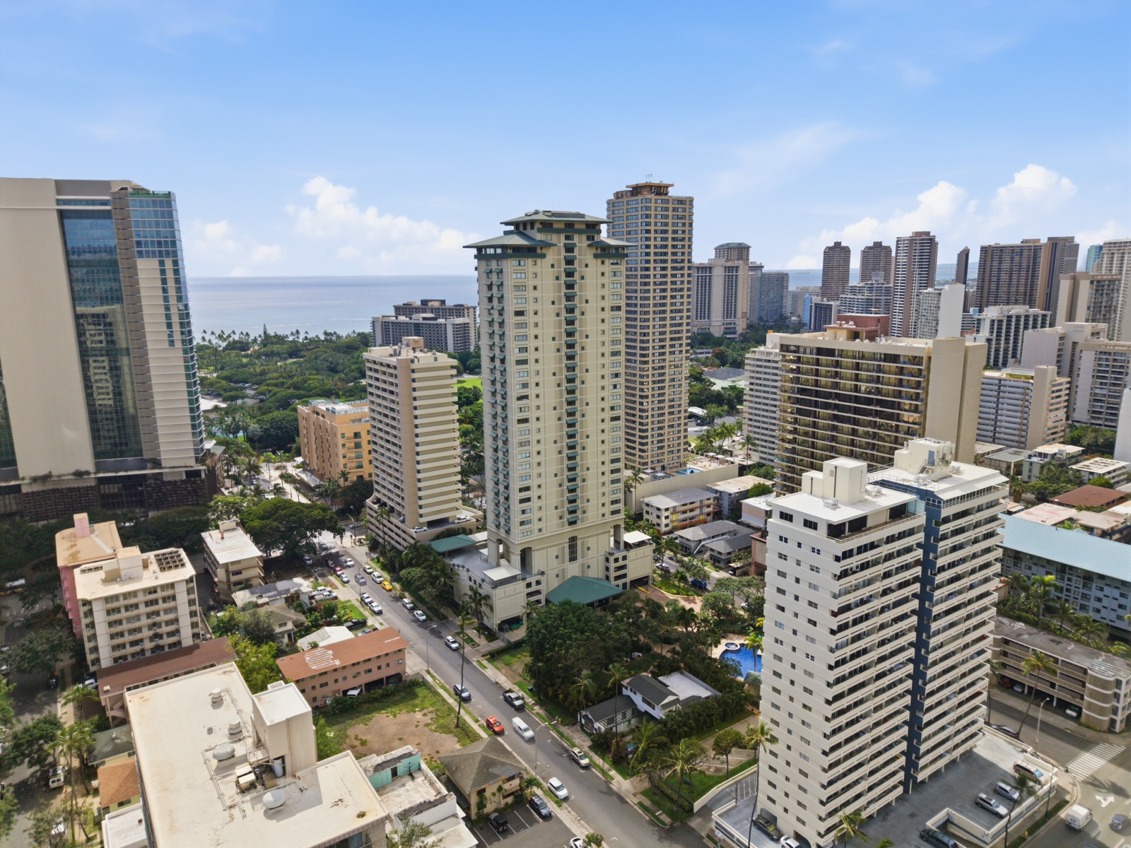
Six places. The real local context.
We don’t publish a list of every Honolulu ZIP. We publish long, honest guides to the six neighborhoods we actually work — the buildings, the diligence questions, the structural realities most listing pages avoid. If you’re shopping or selling in one of these, start here.
Kakaʻako
Built from the ground up — and still building.
Kakaʻako sits between downtown Honolulu and Ala Moana, hugging the south shore. Roughly bounded by Piikoi Street to the west, Punchbowl to the east, Beretania to the north, and the ocean to the south. Twelve minutes to Diamond Head, eight minutes to the airport, three minutes to Ala Moana Beach Park.
Read the guide →
Kahala
Old Honolulu money, on a quiet stretch of coastline.
Kahala is the coastal residential neighborhood east of Diamond Head, running roughly from Kealaolu Avenue on the west to Hawaii Loa Ridge on the east, mauka (mountain-side) to Kalanianaole Highway, and makai (ocean-side) down to the south shore. Eleven minutes from Waikiki, fourteen from downtown Honolulu, six from Kahala Mall, and — for the beachfront pocket — zero from the water.
Read the guide →
Diamond Head
Honolulu's oldest established luxury address.
Diamond Head is the residential neighborhood wrapping the northern, western, and eastern flanks of Lēʻahi crater — Hawaii's most recognizable volcanic landmark. Roughly bounded by Kapahulu Avenue to the west, Black Point and Kahala to the east, Kalakaua Avenue and the ocean to the south, and Diamond Head Road circumnavigating the crater itself. The crater (a Hawaii State Monument and National Natural Landmark) is permanently protected open space — which means Diamond Head residents have a 760-foot volcanic cone as their permanent backyard view.
Read the guide →
Hawaii Kai
The only planned marina community in Hawaii.
Hawaii Kai sits on the southeast corner of Oahu, bounded by Maunalua Bay to the south, Koko Head to the east, the Koolau ridgeline to the north, and Aina Haina to the west. The neighborhood was master-planned by Henry J. Kaiser starting in 1959 — when he acquired a long-term lease on roughly 6,000 acres of marshland and fishpond from Bishop Estate (now Kamehameha Schools). Over the next two decades, his development arm built out about 7,000 homes, the marina system, and the road grid that's still in use today.
Read the guide →
Ala Moana
Walk-to-the-beach, walk-to-the-mall Honolulu.
Ala Moana sits roughly between Ward Avenue (west, where it meets Kakaʻako), Kalakaua Avenue / Kapiolani Park (east, where it meets Waikiki and Diamond Head), Kapiolani Boulevard (north), and the ocean (south). The Ala Wai Canal runs along the eastern edge, separating Ala Moana from Waikiki. The Ala Moana Boulevard arterial cuts through the middle, parallel to the coastline.
Read the guide →
Waikiki
Two miles of beach, fifty residential condo buildings, and the most complicated underwriting in Hawaii.
Waikiki sits between Ala Moana (west, across the Ala Wai Canal), Kapahulu Avenue and the Ala Wai Golf Course (north and east), and the Pacific Ocean (south). The Ala Wai Canal, built in 1928 to drain the original Waikiki wetlands, defines the northern and western boundary. Diamond Head crater anchors the eastern end. The neighborhood is roughly one square mile.
Read the guide →
Working a different Honolulu neighborhood? Talk to us — we cover the full island.